History
The story of the wheat, as the official record tells it
There is no single first day of cultivated wheat on this page, because the official record we can check does not begin there. What we do have is a 2026 English year in two official publications, a few weeks apart, that point in different directions: a smaller area, and a slightly larger harvest.
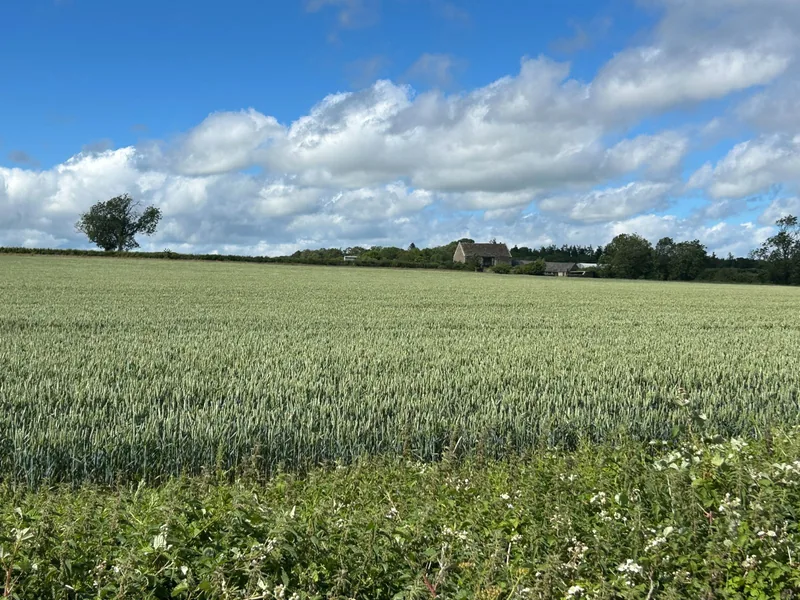
A 1 June area, published as final in August
The official notice is headed “Cereal and oilseed areas in England at 1 June 2026,” and was updated on 27 August 2026. The wheat area, it says, “decreased by 1.8% to 1.5 million hectares in 2026.” [source]
Those area figures come from the June Survey of Agriculture. The official wording is that “The cereal and oilseed crop areas are final and will not be updated.” “All other arable and horticultural crops areas will be published in September 2026 along with other areas of land use and ownership.” The official land-use release later includes the cereal and oilseed areas “for completeness and remain unchanged.” [source] [source]
The official cereal total “is 2.4 million hectares in 2026, a decrease of 5.1% from 2025.” Wheat, inside that total, “decreased by 1.8% to 1.5 million hectares in 2026.” “Favourable planting conditions across the country during autumn 2025 supported crop establishment.” The official land-use wording adds that this “follows the increase in area of 8.8% recorded in 2025.” A favourable autumn, and a smaller official area, are both official sentences. [source] [source]
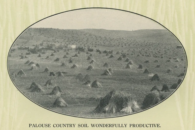
A harvest in tonnes, published as provisional in October
The official production notice, updated 8 October 2026, is titled “Provisional cereal and oilseed production estimates for England 2026.” It is “the first estimate of the 2026 English cereal and oilseed harvest.” “Data are not yet available for Scotland, Wales and Northern Ireland but will be included within the final production estimates for the United Kingdom in December 2026.” The official United Kingdom total is therefore still to come. [source]
The official English wheat harvest “is 10.8 million tonnes, an increase of 0.8% on 2025,” “due to an increase in yield counteracting the decrease of planted area.” Overall yield “increased by 2.7% to 7.2 tonnes per hectare (t/ha).” The 1908 Palouse picture above is a historic American harvest, from a railroad booklet, not an official English tonne. [source]
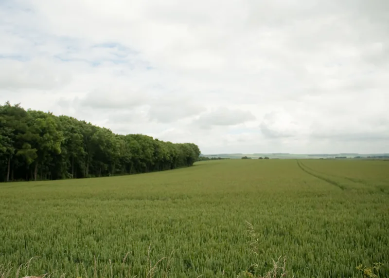
A photograph is not a category, and a caption is not always a place
The Yorkshire Wolds photograph is a real field on a named day. The Commons file describes it as a wheat field at Huggate; the Geograph page locates the view at Fridaythorpe. The picture is a real field on the Wolds, with its own credit, not a line in the June Survey.
Enjoyed the field?
No pop-ups. No intrusive advertising. Just interesting stuff. A little support helps the next farmyard site get built.