Questions
Questions people actually ask
Short answers, in official wording where a figure is concerned, and a clear no where the official page does not say it.
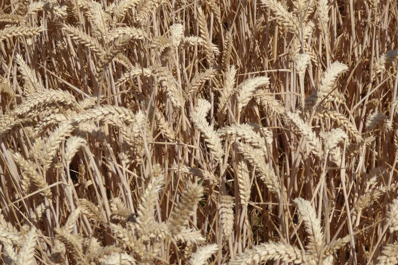
How can the harvest rise if the area fell?
The official wording is that the 10.8 million tonnes is “due to an increase in yield counteracting the decrease of planted area.” Overall yield “increased by 2.7% to 7.2 tonnes per hectare (t/ha).” [source] [source]
Is 10.8 million tonnes a United Kingdom figure?
No. It is a provisional English harvest. Data for Scotland, Wales and Northern Ireland “are not yet available,” and “will be included within the final production estimates for the United Kingdom in December 2026.” [source]
Are the area figures still being revised?
The official areas notice says the cereal and oilseed crop areas “are final and will not be updated.” The harvest notice is provisional. [source] [source]
Do the Eastern region and the East Midlands officially grow half of England’s wheat?
The official wording is that they “together grow almost half of the wheat in the country, accounting for 28.3% and 19.2% of the total area respectively.” [source]
Is this a Defra website?
No. It is part of farmyard.im and the ReallyByte network, run by REALLYBYTE, based in the Isle of Man. Official wording is quoted from published Defra releases.
Can I use the photographs in the free downloads?
No. The free fact sheets are typographic only. CC BY-SA photographs are used on the website only.
Is a June photograph of a field the June Survey?
No. Official areas come from the June Survey of Agriculture. A photograph has a date and a credit, and is not an official hectare total.
Keep exploring
Enjoyed the field?
No pop-ups. No intrusive advertising. Just interesting stuff. A little support helps the next farmyard site get built.