Home · Official figures
Official figures, kept unblended
The figures below are quoted from official Defra notices. England’s June Survey area is kept apart from the later provisional harvest estimate.
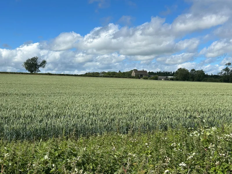
Wheat area in England at 1 June
Official wording: “The 2026 wheat area estimate for England is 1.5 million hectares, a decrease of 1.8% compared to 2025.” [source] The land use notice, published on 24 September 2026, says the cereal and oilseed areas published on 27 August “remain unchanged.” [source]
| Year | Wheat area (thousand hectares) |
|---|---|
| 2024 | 1,402 |
| 2025 | 1,525 |
| 2026 | 1,497 |
Total cereals, kept distinct
Official wording: “The total area of land in England used to grow cereal crops is 2.4 million hectares in 2026, a decrease of 5.1% from 2025.” Wheat is one category inside that total. [source]
A later harvest estimate
Official wording from the 8 October 2026 production notice: “The provisional estimate of the 2026 English wheat harvest is 10.8 million tonnes, a slight increase of 0.8% on 2025,” with overall yield “increased by 2.7% to 7.2 tonnes per hectare (t/ha).” United Kingdom figures were not yet in that release. [source]
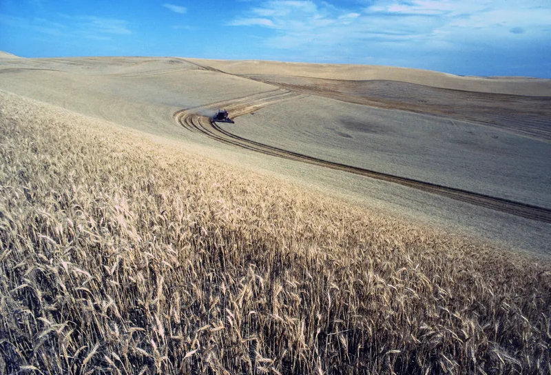
The photograph above is a USDA harvest picture from the Palouse in Idaho. It is included as a clear, freely licensed harvest scene, and is not a Defra record or an English field.
Enjoyed the field?
No pop-ups. No intrusive advertising. Just interesting stuff. A little support helps the next farmyard site get built.