Home · How much wheat?
The signature desk
How much wheat is in the official figures?
A wheat field is easy to point to. Official statistics are more careful. They give an England area at 1 June, in hectares, for commercial agricultural holdings, and they give a later, provisional harvest in tonnes. Those are not treated here as the same number.
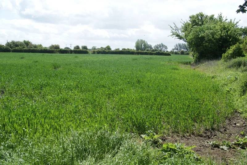
The desk on the home page is built from Defra’s cereal and oilseed areas notice and agricultural land use notice for 1 June 2026, and from the later provisional production notice. It asks six things: the official England wheat area; the thousand-hectare table; why the total cereal area is not a wheat area; the official regional figures, with their caveat; why a harvest total is a different statistic; and what the June Survey covers.
Enjoyed the field?
No pop-ups. No intrusive advertising. Just interesting stuff. A little support helps the next farmyard site get built.