Discoveries
Things you may never have been told about wheat
A smaller area and a larger harvest, a region that grew 8.4 tonnes on a hectare, two counties of the map that hold almost half the crop, and land left for environmental benefit. Each story is still attached to its source.
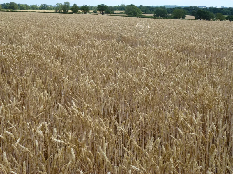
The area fell, and the harvest rose
The official wheat area “decreased by 1.8% to 1.5 million hectares in 2026.” The official provisional English wheat harvest “is 10.8 million tonnes, an increase of 0.8% on 2025,” “due to an increase in yield counteracting the decrease of planted area.” Less land, a little more grain — because the crop grew more heavily on the land that remained. [source] [source]
The North East grew the heaviest crop
Overall yield “increased by 2.7% to 7.2 tonnes per hectare (t/ha),” “due to an increase in yield in all regions, apart from East of England and South East.” The highest official yields “were seen in the North East (8.4 t/ha).” Yorkshire & the Humber saw the largest official rise in production, 6.5%. [source]
Two regions grow almost half of England’s wheat
The official wording is that the Eastern region and the East Midlands “together grow almost half of the wheat in the country, accounting for 28.3% and 19.2% of the total area respectively.” One country, two regions, almost half the crop. [source]
Only one region did not see a smaller wheat area
“All English regions apart from the North West & Merseyside saw a decrease in wheat area.” The official North West line moves from 28,662 in 2025 to 28,810 in 2026. “The largest proportional decrease was in the East Midlands region, which saw a fall of 3.1%.” [source]
A favourable autumn, and a smaller official area
The official wording is that “Favourable planting conditions across the country during autumn 2025 supported crop establishment,” and that the wheat area “decreased by 1.8% to 1.5 million hectares in 2026,” following “the increase in area of 8.8% recorded in 2025.” A good autumn, then, did not mean a larger year. [source] [source]
The area is final; the harvest is still a first look
The official areas notice says the cereal and oilseed crop areas “are final and will not be updated.” The official harvest notice is titled “Provisional cereal and oilseed production estimates for England 2026.” Two publications, two official statuses, published months apart. [source] [source]
Not yet a United Kingdom harvest
The official October notice is “the first estimate of the 2026 English cereal and oilseed harvest.” “Data are not yet available for Scotland, Wales and Northern Ireland but will be included within the final production estimates for the United Kingdom in December 2026.” [source]
Uncropped arable land is two kinds of land
The official land-use wording is that uncropped arable land “increased by 3.9% to 566 thousand hectares.” “Of this area, 82 thousand hectares were left as bare fallow and the remaining 484 thousand hectares were used for environmental benefit.” Most of the land that was not cropped, in other words, was being used on purpose. [source]
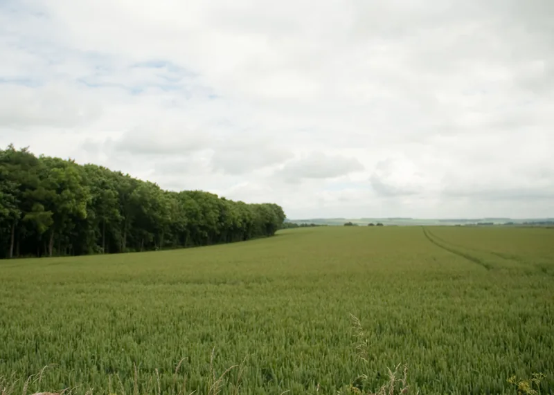
A Commons field at Huggate, a Geograph view at Fridaythorpe
The Yorkshire Wolds photograph is described on the Commons file as a wheat field at Huggate, East Riding of Yorkshire. The Geograph page locates the view at Fridaythorpe. The picture is a real field on the Wolds. The two catalogues do not settle the village.
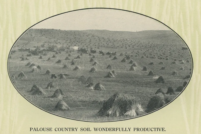
Two Palouse harvests, a century apart
This site uses a USDA Agricultural Research Service photograph of a wheat harvest on the Palouse, Idaho, dated before December 2004, and a 1908 booklet picture from the Spokane & Inland Empire Railroad, placed by Commons in the category Palouse, Washington. Two harvests, two pictures, and a landscape famous for wheat on both sides of a state line.
Keep exploring
Enjoyed the field?
No pop-ups. No intrusive advertising. Just interesting stuff. A little support helps the next farmyard site get built.